The map: where everything is, and where it must go
Schematic, not to scale. Click any marker or route for the callout: the technology, the industry, the infrastructure, and the headline numbers.
Export gates (ports/terminals)
Resource bases
New industry & technology
Corridors (dashed = proposed)
▲ Leverage chokepoints (US-facing, levy-eligible)
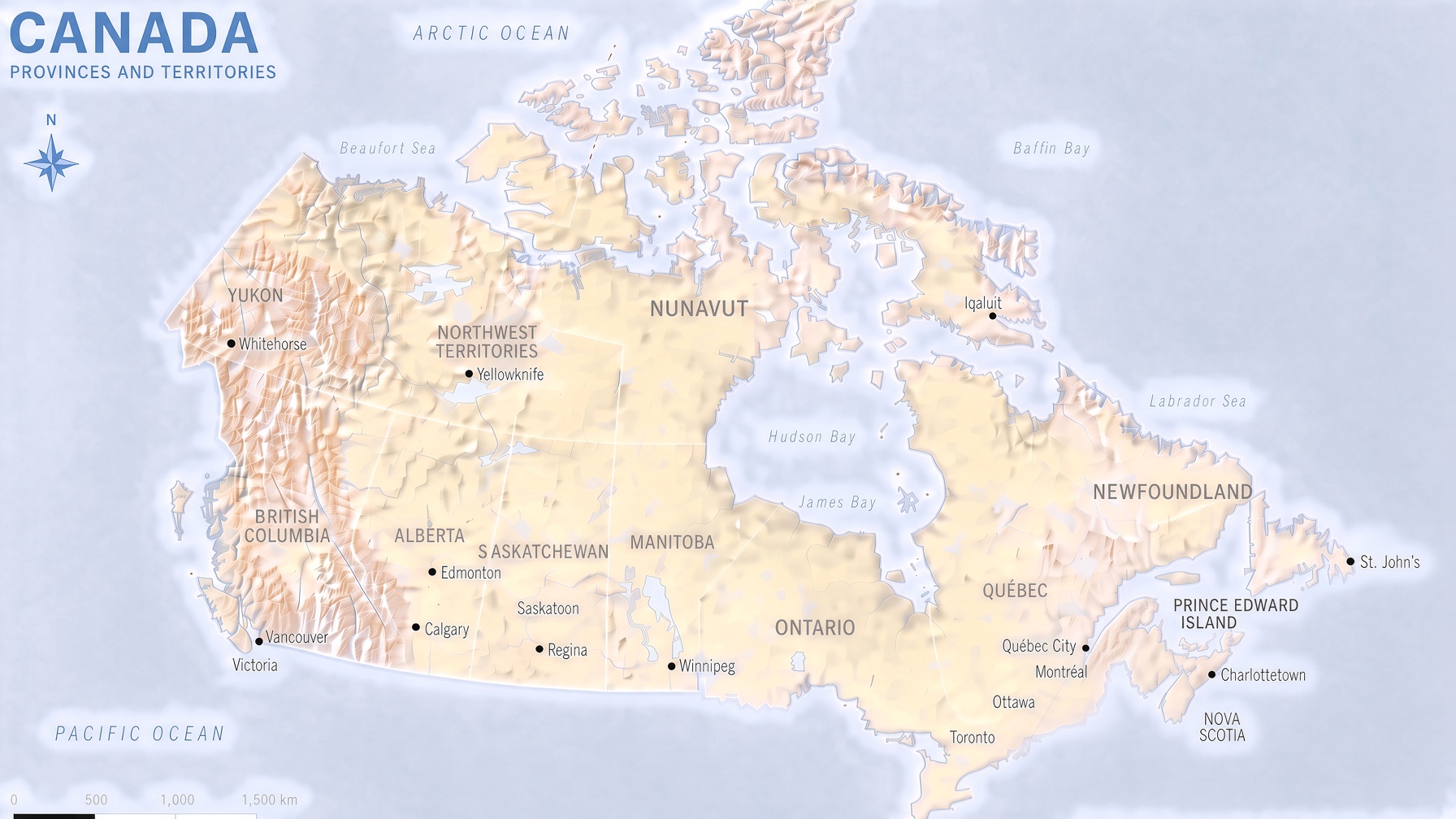
Base map: original relief map, provided for this site and free to use. Marker and corridor positions are approximate (projected from real coordinates onto this map's projection) — see the legend for what each symbol means. Hover a marker for its name, click for the full detail below.
Click a marker or corridor to see its details.